We’ll mention the surprise first. You have not read wrong. There really is a coastal hiking trail in Rheinhessen. After all, the Mainz Basin was once flooded by a subtropical sea. That may have been 30 million years ago, but numerous rock and fossil finds still bear witness to a species-rich underwater world.
Nature’s ways may not be unfathomable, but they are no less fascinating. Sharks, rays and manatees used to frolic where wine grows today. The coastal path near Alzey-Weinheim invites you to hike through the vineyards – with an exciting journey back in time to the prehistoric past. On top: wonderful views over the Rhine-Hessian hills.
The Weinheim bay
Let’s get going: The starting point of the hike is on the main street of Weinheim. The village, which was once independent, is now the largest district of Alzey. And if you set off from here, you need not worry.
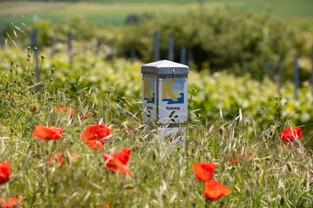
Orientation is easy: follow the coastal path signs towards the edge of the village and then turn off into the vineyards. The small chapel of the Heiligenblut winery from the 18th century welcomes hikers on the coastal path.
A solid seabed
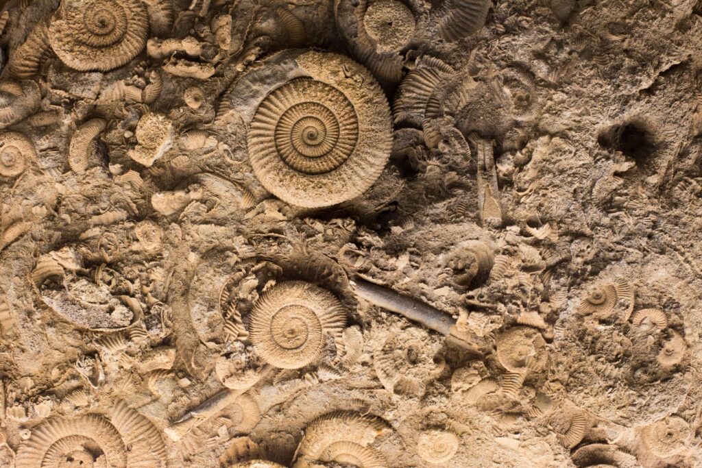
The first natural monument on the hike is located at the eastern end of Weinheim Bay and cannot be overlooked. The Trift is a former sand pit that rises meters high in front of the hikers. This world-famous geological site is an excellently preserved cross-section of the primeval seabed. Even at a distance, shells can be seen in the rock.
Of hell and the church
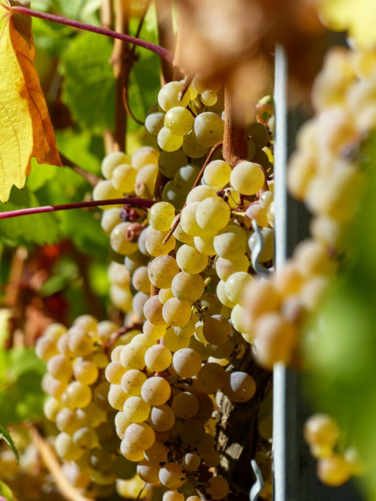
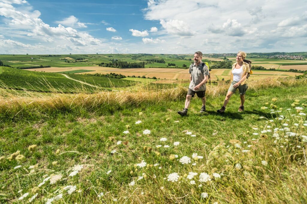
No one said it wasn’t going to be a bit exhausting. This is where we are right now. It’s uphill, through the middle of the picturesque Rhine-Hessian hills. Vines line the path on both sides. After all, winegrowing has a very long tradition in Weinheim. In fact, it was first mentioned in documents as early as the 8th century.
The vineyards in the village have theatrical names. With the predominantly south-facing slopes of the „Hölle“ (hell) or the “Heiliger Blutberg” (Mountain of Holy Blood), the conditions for a good drop are excellent.
And faith lives among the grapes. Europe’s first wine church has been standing in Alzey-Weinheim since 2009 and is a consecrated place of worship made of vines supported by a delicate, five-metre-high bamboo frame.
The world is my oyster
The next section leads westwards below the “Auf dem Groß” steppe forest. Your effort is rewarded with fantastic views over the sea of vines.
Then it suddenly gets really exciting. After several leisurely kilometers, you reach the Zeilstück sand pit at the north-western end of Weinheim Bay. It is the second important natural monument on the circular route.

A viewing platform provides a good insight into the protected geotope. The sandstone rocks were hollowed out by the primordial surf. A particularly large number of oysters have been found here, which is why it is known as the oyster patch.
A lounger with a sea view
Makes you hungry, doesn’t it? The perfect picnic spot is a climb away. In the middle of the hill, west of Alzey-Weinheim, a small cluster of trees casts cooling shade.
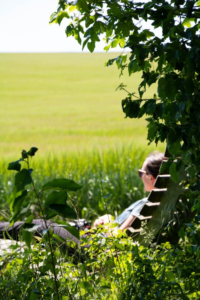
The perfectly placed loungers provide a cozy resting place, the ideal spot for a cheese sandwich with a magnificent view over the hilly landscape of Rheinhessen – just right after hiking through it. Now all you need is a little imagination to picture the former bay at your feet.
The shark, it has teeth
Shortly before the end of the circular route, the third important natural monument awaits hikers. A particularly large number of shark teeth have been found at the Neumühle; in total, more than 20 species of shark and ray, numerous bony fish and manatees as well as a previously unknown sea turtle have been identified here.
This, in turn, provides plenty to talk about for the last few meters. Who would have thought it? Marine animal fossils while hiking through the middle of Rheinhessen.
